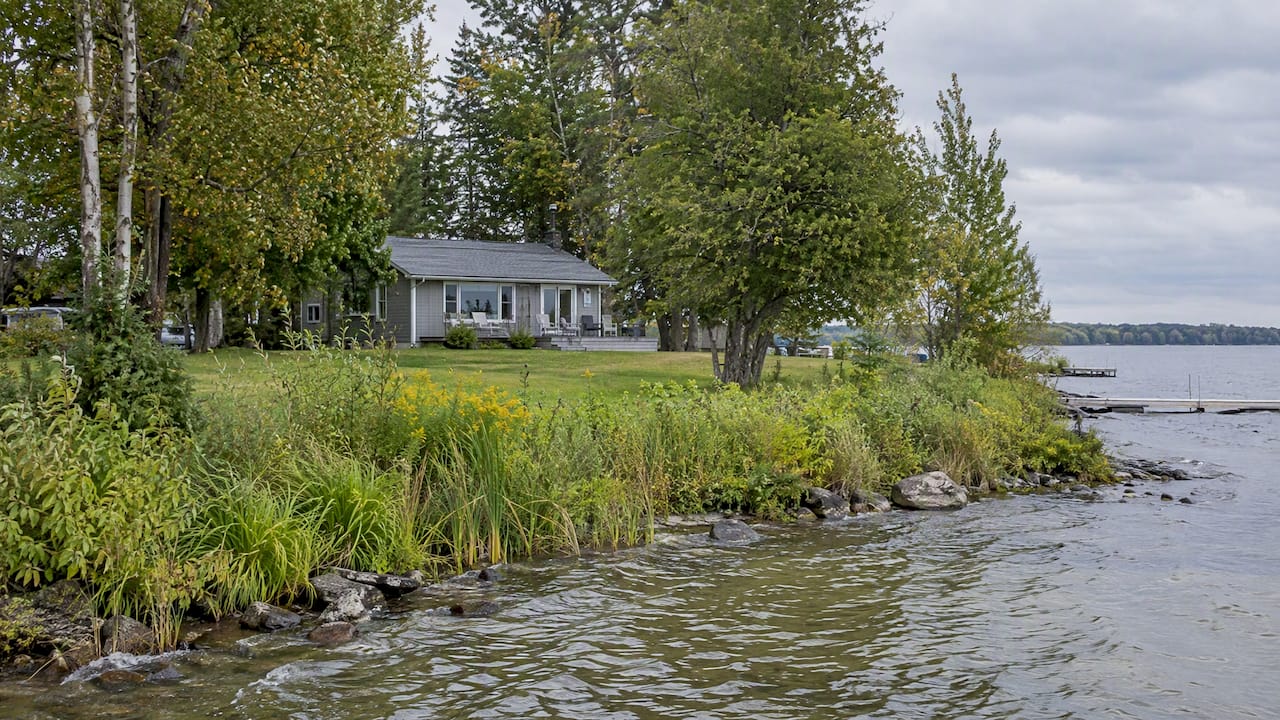
There is no single shoreline setback for all of Ontario. The distance you must keep between a building and the water depends on the lake, the conservation authority, the municipality and the lot itself. On Lake Simcoe, where I work with most of my waterfront clients, the figures people quote are 30 metres from the water and 15 metres from a slope. Those are starting points, not a promise that a lot is buildable.
What most buyers don’t realize is that a setback number is only one of several limits stacked on a waterfront lot. This guide explains how they fit together in Innisfil and around Lake Simcoe, and what to check before you make an offer.
TL;DR
- Ontario has no one province-wide shoreline setback. Each conservation authority and municipality applies its own rules.
- For Lake Simcoe, the LSRCA guidelines generally call for 30 metres from the normal high-water mark and 15 metres from the top of a bank or slope, with limited exceptions.
- In Innisfil, lakefront residential lots also fall under the Community Planning Permit System (CPPS), which covers new structures, additions, docks, boathouses and shoreline work.
- Zoning does not equal buildability. Ask for the conservation authority’s regulated-area mapping before you waive conditions.
- Unpermitted shoreline work can pass to the next owner, so ask for permits on file for docks, boathouses and erosion control.
What a shoreline setback actually is
A setback is the minimum distance a structure must sit back from a defined line. On waterfront, that line is usually the normal high-water mark, or the top of a bank or slope if the shore is steep. The purpose is not to protect your view or privacy. It is to manage flooding, erosion and pollution, and to protect the natural vegetation that filters runoff before it reaches the lake.
The LSRCA describes its approach as risk-based. It does not simply apply a flat distance everywhere. Its realtor FAQ stresses that shoreline protection is about natural heritage features that filter nutrients, which matters for the health of Lake Simcoe.
That is why two neighbouring lots can have very different buildable areas. A flat lot with a mature buffer and a lot with a bluff behind the beach are not treated the same.
The Lake Simcoe numbers
Here are the figures I see most often in practice.
| Constraint | Typical starting point on Lake Simcoe | Where it comes from |
|---|---|---|
| Distance from the normal high-water mark | 30 metres for new development | LSRCA Regulation 41/24 guidelines |
| Distance from the top of bank or slope | 15 metres where a slope is present | Same guidelines |
| Vegetation protection zone, shoreline built-up area | 30 metres, or more if an evaluation requires it | Lake Simcoe Protection Plan, Ontario.ca |
| Vegetation protection zone, remaining shoreline outside settlement areas | 100 metres | Lake Simcoe Protection Plan |
The LSRCA guidelines allow exceptions in existing settlement areas or on lots with physical size restrictions, but only with the authority’s approval. Do not assume your lot qualifies. Many older Innisfil cottage lots are small and already sit well inside 30 metres. Whether a renovation or rebuild can stay in that footprint is a separate question, and it is the one that decides value.
Why 30 metres doesn’t tell you where you can build
When I walk a buyer through a lakefront listing, I draw the lot as layers rather than a single line. The “limit of development” is the furthest extent of every constraint combined:
- Flood hazard, the land that can be inundated.
- Erosion hazard, which accounts for slope stability.
- Natural heritage features such as wetlands and woodlands.
- The buffers attached to each of those.
The LSRCA planning page frames development review this way, and in my experience projects stall when someone priced in the shoreline setback but missed a second environmental constraint. A no-build zone is often larger than the distance from the water suggests, because flood and erosion buffers can reach further inland than the high-water mark.
A realistic scenario
Say you find a 1950s cottage on a lot that looks generous on the listing. You plan to tear it down and build a year-round home. The lot is zoned residential, so the plan seems straightforward. Then the regulated-area mapping shows a wooded slope at the back and a hazard line closer to the road than you expected. The buildable pocket is a fraction of what you assumed, and the new home you imagined may not fit.
That is not rare, and it is the reason I tell clients to check the mapping before they get attached to a floor plan.
Three layers of approval in Innisfil
On Lake Simcoe you generally deal with three overlapping layers.
1. Zoning
Zoning sets the use and basic standards on paper. It says a home is allowed. It does not prove the part of the lot you want to use is safe or permitted to build on.
2. The conservation authority
Under Ontario Regulation 41/24, in effect since April 1, 2024, development in regulated areas such as shorelines, floodplains and wetlands needs a permit from the local conservation authority. The LSRCA’s permit page says that work near a lake, river, stream, steep slope or wetland may need its approval. Its planning overview confirms the regulation was approved on April 1, 2024. The authority may ask for a site plan, a description of the works and professional studies, depending on scope.
The LSRCA’s planning and permits page says that regulation replaces the previous one, so older articles that cite the former regulation numbers may be out of date.
3. The Town of Innisfil
Residential properties in Innisfil with frontage on Lake Simcoe, and those in Alcona, fall under the Community Planning Permit System. A CPPS permit is required to:
- build a new structure or add onto a building, boathouse or dock;
- change existing buildings;
- alter the site, including grading, fill, vegetation and tree removal, and shoreline work.
The system combines zoning adjustments, minor variances and detailed site plan applications into one application rather than several separate ones. The Town describes permits in classes. Class 1 meets all standards and is decided by staff, while applications needing relief from the standards go through a different class of approval. The Town also started housekeeping amendments to the CPPS by-law in early 2026, so check the current by-law text rather than a printout from a past listing.
The order matters. The Town’s building permit page indicates that a building permit does not move forward without written clearance from the conservation authority. In practice, the conservation authority acts as a gatekeeper. If you want to go deeper on this, our guide for Innisfil waterfront buyers on CPPS and Parks Canada permits walks through it.
What I check before a client makes an offer
What I tell my clients is that the conditions in your offer should buy you answers, not just time. This is the order I work in.
- Regulated-area mapping. Look up the property on the conservation authority’s maps. These override the general zoning picture on waterfront lots.
- Where the existing structures sit. Is the cottage, deck or garage inside the 30 metres? Older buildings may be legal non-conforming. That affects what you can add or rebuild.
- The slope. Look for a bank at the water’s edge or behind the beach. The 15-metre slope setback can change the whole layout.
- Permits on file. Ask the seller whether docks, boathouses, retaining walls, and shoreline fill have permits. Inheriting unpermitted work can be costly, and the LSRCA notes that retroactive approval is never guaranteed.
- Vegetation. Innisfil’s rules for shoreline residential lots include keeping natural vegetation along the water. A buyer who plans to clear the shoreline for a lawn should know this before closing.
- Septic and services. The location of the septic bed competes with the setback for the same limited space. Our five pre-offer checks for Ontario waterfront covers shore and septic together.
If the numbers for your plan don’t work, I’ll say so. A cottage you love on a lot that cannot take the addition you need is not the right property, and it is better to learn that before closing than after.
Docks, boathouses and shoreline work
Setbacks are not only about houses. Docks, boathouses and shoreline protection are regulated separately, and they are where sellers’ past decisions most often become a buyer’s problem.
The LSRCA’s realtor FAQ says boathouses can be built on Lake Simcoe but with restrictions. For example, they cannot contain habitable space or have water or sanitary servicing. If a listing advertises a boathouse with a sleeping loft, treat that as a question to investigate, not a feature to pay for.
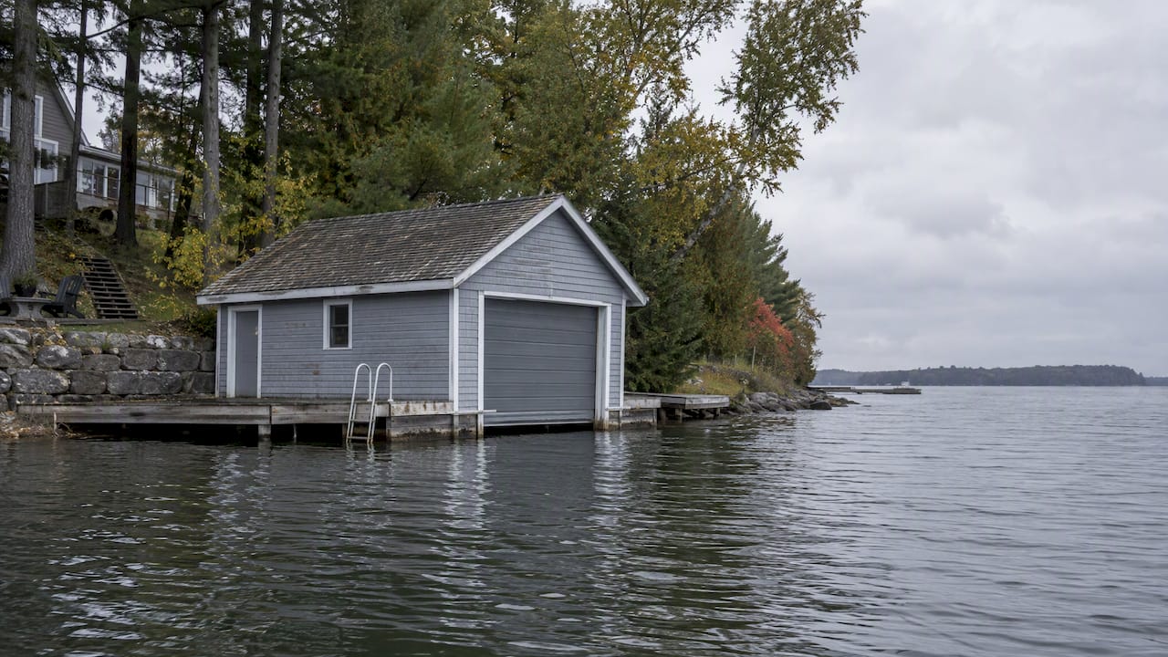
For more detail, see our pages on Ontario boathouse permits and dock permits and closing risks on Lake Simcoe. If you are also wondering who owns the strip of land between your lot and the water, read about 66-foot shore road allowances and riparian rights in Ontario.
If you are selling a waterfront property
Sellers have the mirror-image problem. Buyers’ lawyers and agents are increasingly asking about setbacks, and a lot with unclear permit history can lose buyers or time. Gathering permit records, the conservation authority’s mapping and any past approvals before you list lets buyers move with confidence. Our guide on selling an Ontario waterfront home without permit delays sets out how to prepare.
Our perspective
We see setback questions come up at the same moment every time: just after a buyer has fallen for a property. That is the worst time to learn about a hazard line. So we put the regulatory picture on the table early, before a client invests emotionally.
The biggest misunderstanding we run into is the idea that a single number answers the question. Thirty metres is a useful rule of thumb, but the real answer is a map, a permit history and a conversation with the conservation authority and the Town. We would rather tell a client that a lot will not support their plans than let them find out after closing.
The flip side is that many Lake Simcoe lots work well for what people want: a weekend retreat, a modest renovation, or a dock. The skill is matching the property to the plan. For buyers moving from Toronto, we pair that with a view of the whole lifestyle and commute picture, which is why we wrote about living on Lake Simcoe and the Lake Simcoe waterfront market.
— Felix
Looking at waterfront in Innisfil or Friday Harbour?
If you want the freedom of the water without managing a shoreline lot’s permits, a condo in a resort-style community can be a simpler route. We list and advise on Friday Harbour condos for sale, and we can also help you assess a lakefront house or cottage, with the setback and permit questions covered before you write an offer. You can start with our main page and tell us what you plan to do with the property.
FAQ
Is there one shoreline setback for all of Ontario?
No. Conservation authorities and municipalities set requirements for their own areas, and provincial plans add policies in some regions. On Lake Simcoe, the LSRCA’s guidelines point to 30 metres from the normal high-water mark and 15 metres from the top of a slope for new development. Check the rules for the specific lake and municipality.
Can I renovate a cottage that is closer than 30 metres to the water?
Sometimes, but it depends on the work and the approvals. The LSRCA guidelines allow exceptions in existing settlement areas or on lots with size restrictions, with the authority’s approval. In Innisfil, a lakefront addition also needs a CPPS permit. Get both answers in writing before you commit to a purchase.
Do I need a permit for a dock or shoreline work?
In most cases, yes. Innisfil’s CPPS covers docks, boathouses and shoreline work on lakefront residential properties, and the LSRCA regulates work near the lake in regulated areas. Our dock permit guide explains the details and the exemption that may apply.
Who do I contact to confirm what applies to a lot?
Start with the conservation authority for the regulated area and the Town’s planning staff for the CPPS. For a legal opinion on title, a survey or non-conforming status, speak to a real estate lawyer and an Ontario land surveyor before your conditions expire.
Sources
- LSRCA Ontario Regulation 41/24 Implementation Guidelines
- LSRCA: Do I need a permit?
- LSRCA: Realtor frequently asked questions
- LSRCA: Planning
- LSRCA: Planning and permits
- Lake Simcoe Protection Plan: Shorelines and natural heritage
- Town of Innisfil: Community Planning Permit System
- Town of Innisfil: Notice of public meeting on CPPS by-law amendment
- Town of Innisfil: Building permits