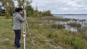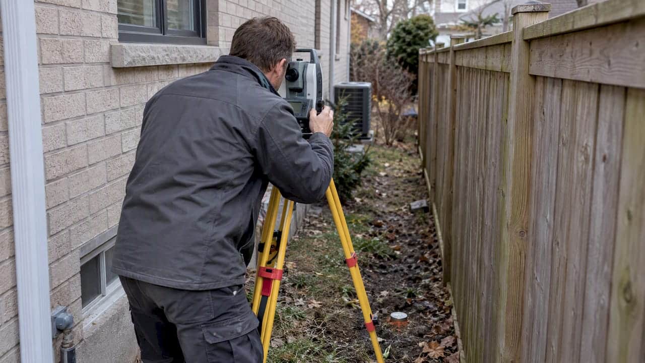
A Surveyor’s Real Property Report, or SRPR, is the legal document that shows exactly where your buildings and improvements sit relative to your property lines in Ontario. We tell clients to order one when buying a home without a current SRPR, before building or fencing, and whenever a boundary is in question. Only a licensed Ontario Land Surveyor can prepare one.
TL;DR:
- An SRPR combines a boundary plan with the surveyor’s written opinion, original signature, and embossed seal; a reference plan serves severances or easement registration.
- Title insurance cannot settle a boundary dispute; a Boundaries Act application requires a current survey, signed Draft Plan, field notes, and title research.
- Before relying on an old SRPR, verify its date and seal, confirm whether monuments were set, and check for later additions, fences, or utility work.
- Compare written estimates from at least two firms, confirming whether corner markers and provincial coordinate integration are included, since lower quotes may omit them.
- Municipal record requests can stretch a survey from days into weeks, so ask the surveyor how much of the schedule depends on them.
What a property survey shows: SRPR, reference plans, and other survey types
An SRPR is not just a drawing. It pairs a plan with a written report that gives the surveyor’s opinion on boundary concerns, and a valid one carries the original signature and embossed seal of the Ontario Land Surveyor who prepared it. That combination of plan and opinion is why lenders and municipalities treat an SRPR as the authoritative word on where things actually sit, not just a historical sketch.
A complete SRPR typically includes:
- The legal description and PIN (property identification number) for the parcel
- Boundary lines and dimensions, matched against the registered plan
- The location of buildings, decks, and other structures relative to setbacks
- Easements, rights of way, and other encumbrances affecting the lot
- Monumentation notes showing which boundary markers exist or were set
Not every survey is an SRPR. A reference plan (often called an R-plan) is prepared when a property is being severed or when a legal description needs to be registered, such as for an easement. Topographic surveys map elevation and natural features, useful for drainage or septic design, while cadastral surveys establish or re-establish boundary lines themselves. Knowing which one you actually need before you call a surveyor saves time and money.
Every survey submitted to the land registry system in Ontario must meet the performance standards and accuracy levels set out in O. Reg. 216/10, which governs deliverables, coordinate integration, and technical requirements under the Surveyors Act.
When you need a survey in Ontario: closings, renovations, and the Boundaries Act
Most buyers only think about a survey once, at closing, but several moments in ownership call for one.
- Buying a home where no current SRPR exists, especially if your lender or lawyer flags a gap
- Planning a major renovation, addition, or new pool that needs to respect setbacks
- Installing a new fence near a boundary you have never confirmed
- Meeting a municipal building-permit condition that requires a current plan
- Severing land or subdividing a lot, which requires a reference plan
When a boundary is genuinely in dispute, title insurance will not settle it. The Boundaries Act provides a formal process to confirm the true position of a property line, and it requires a current survey prepared specifically for that application, complete with a signed Draft Plan, field notes, and title research. An old survey, however well kept, cannot be recycled for this purpose.
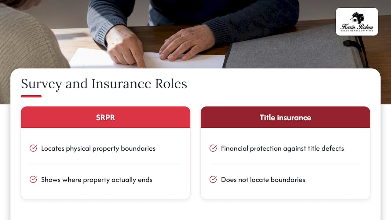
Title insurance, by contrast, protects you financially against certain title defects, but it does not locate your boundaries on the ground. If you are planning to build anything near a property line, that distinction matters more than most buyers expect.
How to get a property survey in Ontario: finding and hiring an OLS
Start with the Association of Ontario Land Surveyors directory, which lists licensed professionals by region. Referrals from your real estate lawyer, lender, or municipal building department are often just as useful, since those professionals know which surveyors handle your area’s terrain and research quickly.
- Request a written estimate that spells out the deliverables before you commit to anything.
- Confirm whether the quote includes a plan, a written report, and physical monumentation (corner markers set in the ground).
- Agree on a schedule and payment terms in writing.
- Let the surveyor complete documentary research and fieldwork, which includes pulling historical plans and checking existing monuments.
- Receive your sealed plan and report, the finished SRPR.
When comparing estimates, ask whether corner markers will actually be set, whether the plan will be integrated with the provincial coordinate system, what the expected completion date is, and what happens if the scope changes partway through. These details separate a firm quote from a rough guess.
Pro Tip: Ask your surveyor how much of the timeline depends on municipal record requests. That step, not the fieldwork itself, is usually what stretches a job from days into weeks.
How much a property survey costs in Ontario and what affects price
Survey costs vary widely because every lot brings a different mix of research and fieldwork. A straightforward urban lot with a recent prior survey on file costs far less to update than a rural property with no plan in decades, multiple structures, or a shoreline boundary to confirm.
The main drivers of price include:
- Lot size and shape, with irregular or large parcels taking longer to measure
- How much archival research is needed to trace old plans and prior monuments
- Site access and terrain, including trees, ravines, or waterfront conditions
- The number of monuments that need to be located or newly set
- Whether the plan must be integrated with a coordinate system under provincial standards
- Extra deliverables such as topographic data or a reference plan alongside the SRPR
We always recommend getting written estimates from at least two surveying firms and comparing what each one actually delivers, not just the bottom line. A lower quote that skips monumentation or coordinate integration can cost you more later if a dispute arises. If you are budgeting for a purchase, folding survey costs into your overall closing costs plan keeps surprises off the table.
Finding an existing survey and knowing when it is not enough
Before paying for a new survey, check whether one already exists. Seller files, your real estate lawyer, your lender, and the municipal building department are the first places to look. Land registry records accessible through Teranet and OnLand can confirm whether a plan is registered, though full survey documents are not always available online and often need to be requested through a lawyer or surveyor directly.
An old survey is not automatically useless, but it is not automatically reliable either. Fences get rebuilt, decks get added, and utility work can shift what is actually on the ground since the last survey was done. Before relying on one, check:
- The date and whether it reflects the property’s current condition
- The original signature and embossed seal of the Ontario Land Surveyor
- Whether monuments were set or simply referenced from older records
- Whether any renovations, fences, or additions happened since it was prepared
What I tell my clients about surveys when we’re buying or selling in Ontario
What most buyers don’t realize is that an SRPR and title insurance solve different problems. I insist on a current SRPR when a client is planning to build, when a fence or driveway looks close to a boundary, or when a rural or waterfront lot has never had a proper survey. Title insurance is a reasonable fallback for a straightforward resale condo, but it will not tell you where your property actually ends.
I have seen survey discoveries change the course of a deal: a driveway that encroached a neighbour’s line by a few feet, a missing corner monument that delayed a permit, an easement nobody mentioned until the plan surfaced. In each case, catching it before closing gave my clients room to negotiate or adjust terms instead of inheriting someone else’s problem.
Coordinating the surveyor, the lawyer, and the lender early keeps these issues from derailing a closing date, and that coordination is where a good agent earns their keep.
— Felix
How we help you arrange and interpret a property survey
We can point you toward trusted Ontario Land Surveyors suited to your property type and timeline. Coordinating timing with your lawyer and lender helps keep closings on schedule, and we help you understand what a survey means for your offer or plans, whether that is an encroachment, an easement, or a setback issue.
This optional support helps ease stress during a transaction. If you are buying or selling in Toronto, Innisfil, or Friday Harbour, reach out and we will walk you through what a survey means for your specific property, including listings at Friday Harbour where shoreline boundaries often deserve extra attention.
For owners planning to step away from day-to-day oversight of a second home after closing, Veil Concierge offers property oversight and seasonal management services worth knowing about.
FAQ
What does “plan of survey” mean?
A plan of survey is the drawing portion of a survey document that shows boundaries, dimensions, and the location of structures on a property. In Ontario, when that plan comes with a written report and a surveyor’s opinion, it becomes a full Surveyor’s Real Property Report.
Where can I find a copy of a survey?
Check with the seller, your real estate lawyer, your lender, or your municipal building department first, since any of them may already hold a copy. Land registry records through Teranet and OnLand can confirm whether a plan is registered, though the physical document often needs to be requested rather than downloaded directly.
How do I find my property lines for free in Ontario?
There is no reliable free method for confirming exact property lines, since only a licensed Ontario Land Surveyor can legally establish them. Municipal property mapping and old surveys can give a rough idea, but anything involving construction, fencing, or a dispute calls for a current SRPR.
What type of land survey is most accurate?
A cadastral survey prepared by a licensed Ontario Land Surveyor and integrated with the provincial coordinate system, as required under O. Reg. 216/10, gives the most legally reliable boundary positions. For most homeowners, a current SRPR that meets those same standards is the practical equivalent.
Sources
- Survey Plans – AOLS | The Association of Ontario Land Surveyors
- Boundaries Act – client guide (Ontario government)
- Teranet geospatial/title data